
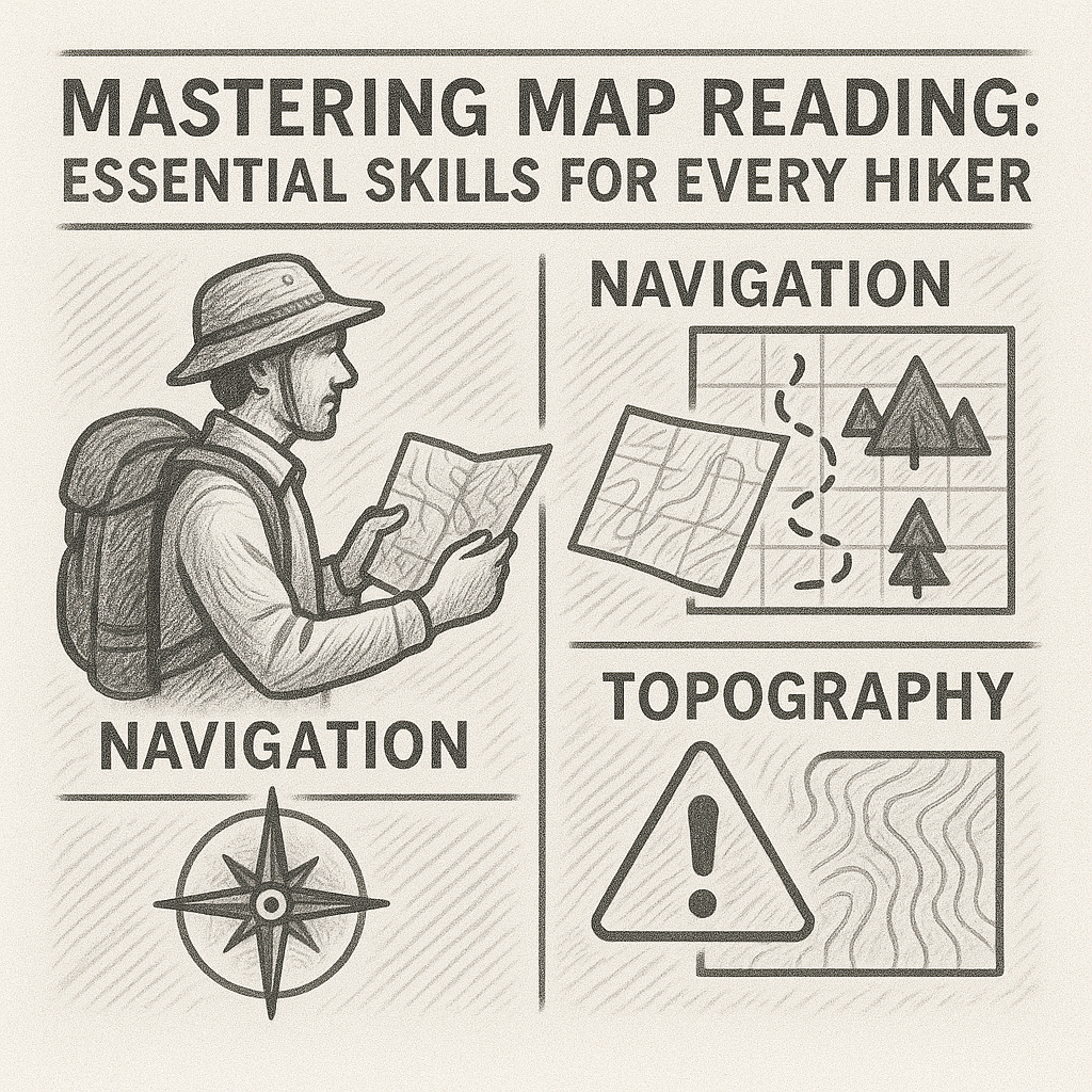
Mastering Map Reading: Essential Skills for Every Hiker
Whether used alone or alongside modern technology, map reading enhances situational awareness and decision-making. It remains one of the most reliable and empowering skills for anyone exploring mountainous terrain.
Gaia GPS: A Technical Navigation Tool for Serious Hikers
Gaia GPS is the ideal app for serious hikers who demand accuracy and technical information. It is not the simplest app, but it is one of the most powerful, making it essential for high-level mountain navigation.

Komoot: The Best App for Detailed Route Planning
Komoot is the essential app for hikers who want control, detail, and precision. From single-day hikes to long alpine crossings, it provides all the tools needed to plan safely and efficiently.

AllTrails: A Beginner-Friendly Hiking App Used Worldwide
AllTrails is the perfect hiking app for beginners and casual hikers who want a simple, reliable way to explore new trails. Its huge database and strong community feedback make it accessible and trustworthy, especially for classic or well-maintained routes.
Navigation With Minimal Equipment: What To Do When Tools Fail
These skills reinforce self-reliance and enhance overall safety in the mountains. Preparing for the possibility of equipment failure ensures hikers remain confident and capable in unexpected situations.
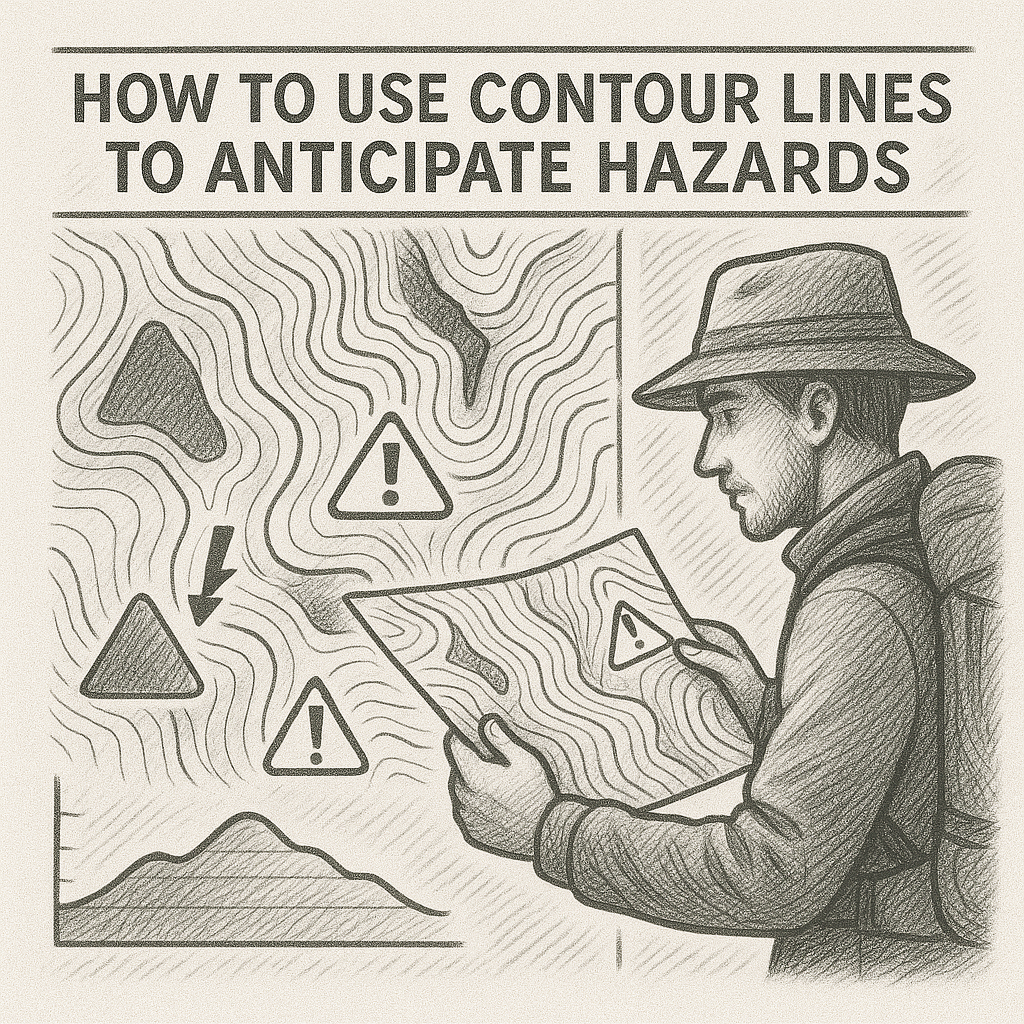
How to Use Contour Lines to Anticipate Hazards
Contour lines offer a powerful way to anticipate terrain hazards long before reaching them. By analysing contour spacing, shapes and patterns, hikers can identify steep slopes, cliffs, gullies, ridge exposure, avalanche terrain and complex areas that require caution.
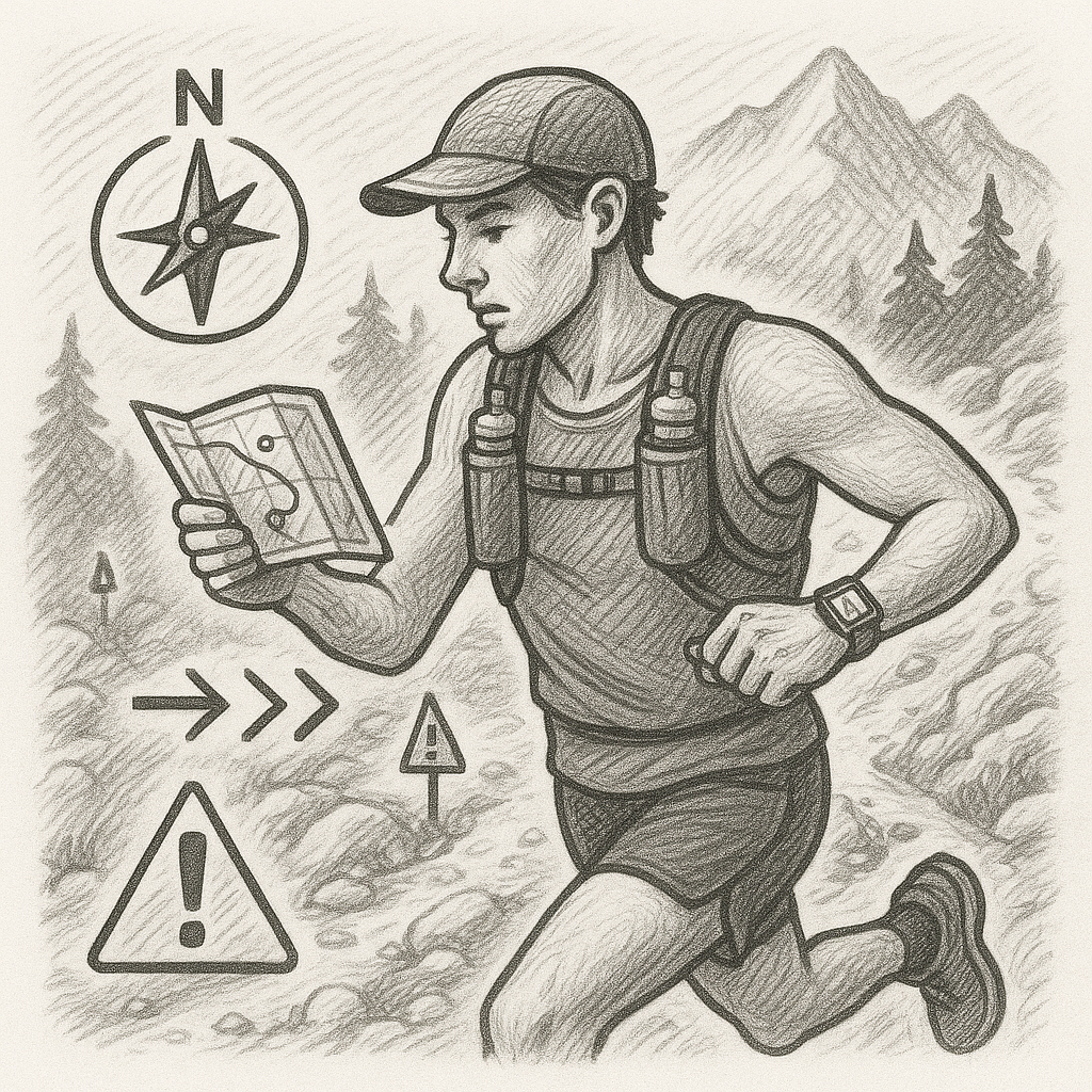
Orientation for Trail Runners: Speed, Safety, and Efficiency
By preparing thoroughly, using GPX tools wisely, maintaining situational awareness and adapting speed to terrain complexity, trail runners can navigate confidently and safely across Alpine environments
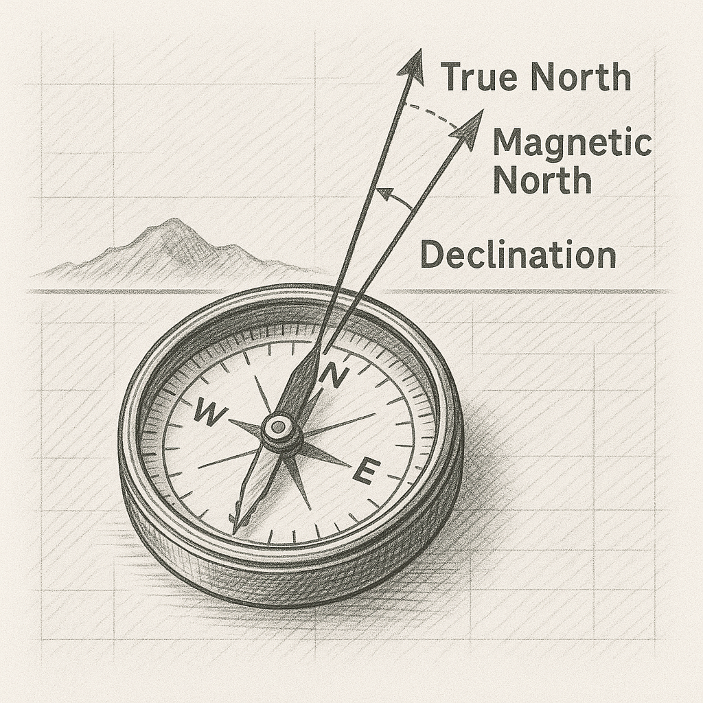
Understanding Declination and How It Affects Compass Use
Magnetic declination is a fundamental aspect of compass navigation. Although sometimes overlooked, it has a direct impact on the accuracy of bearings taken from a map.
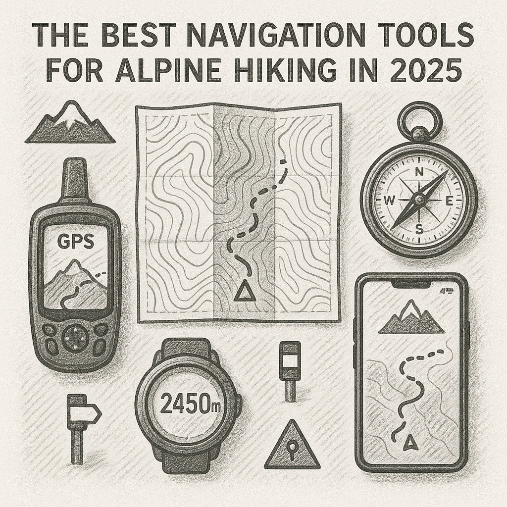
The Best Navigation Tools for Alpine Hiking in 2025
The best navigation tools for alpine hiking in 2025 combine traditional reliability with modern precision. Topographic maps and compasses remain essential for interpreting terrain and maintaining orientation.
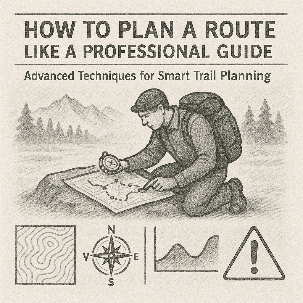
How to Plan a Route Like a Professional Guide
Route planning like a professional guide involves more than selecting a path—it requires understanding terrain, anticipating hazards, segmenting the journey, preparing alternatives and managing environmental conditions.
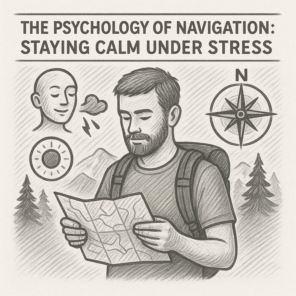
The Psychology of Navigation: Staying Calm Under Stress
Navigation is as much a psychological discipline as it is a technical one. Stress affects perception, decision-making and attention, but understanding these effects allows hikers to respond calmly and effectively.
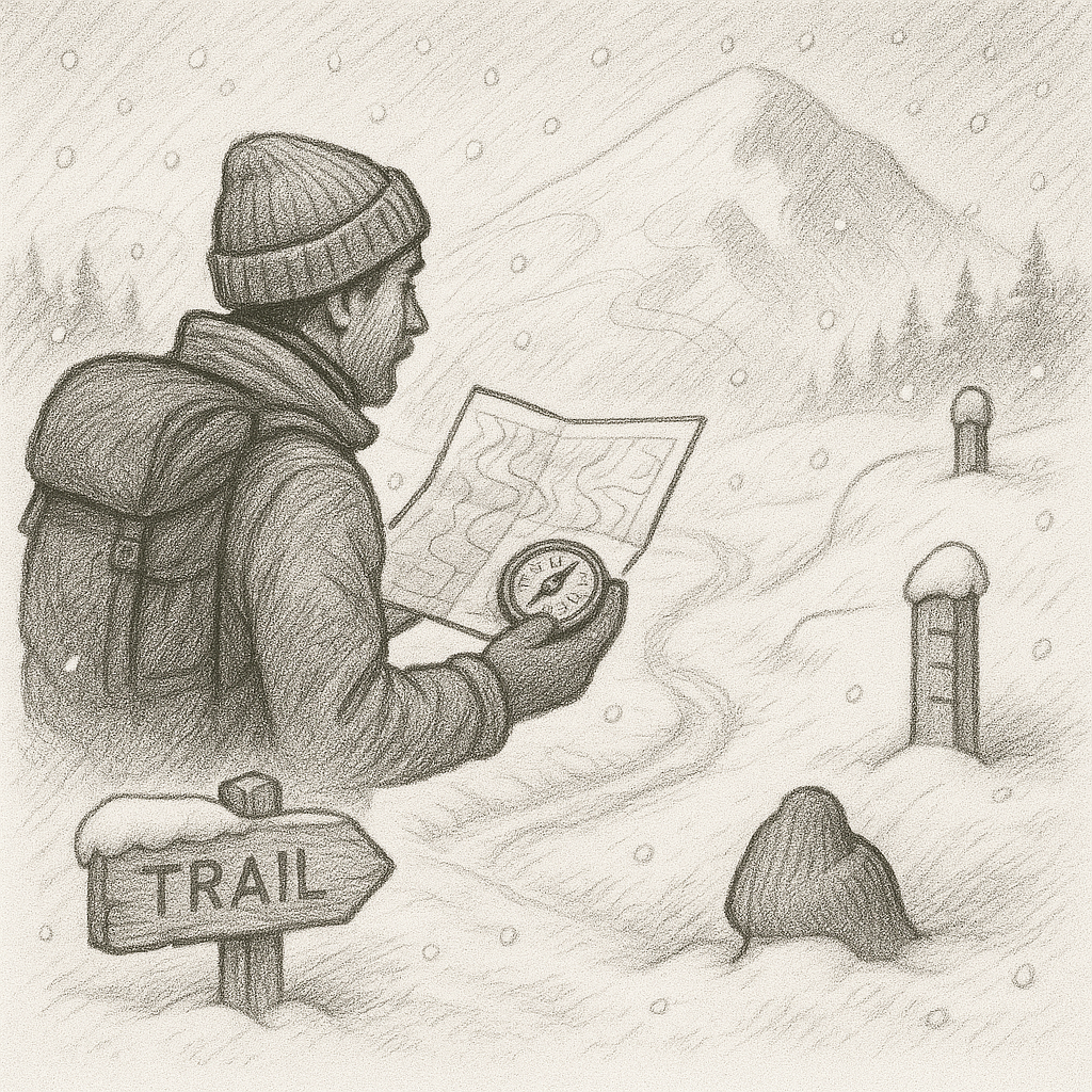
Winter Navigation: How Snow Changes the Landscape
Winter hikers must rely heavily on contour interpretation, compass skills, conservative route choices and consistent verification through multiple navigation tools.
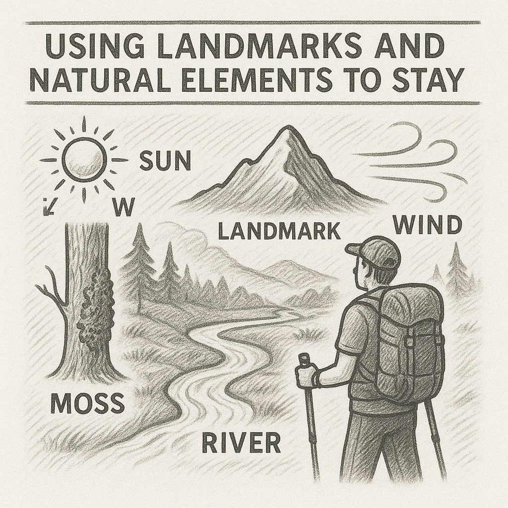
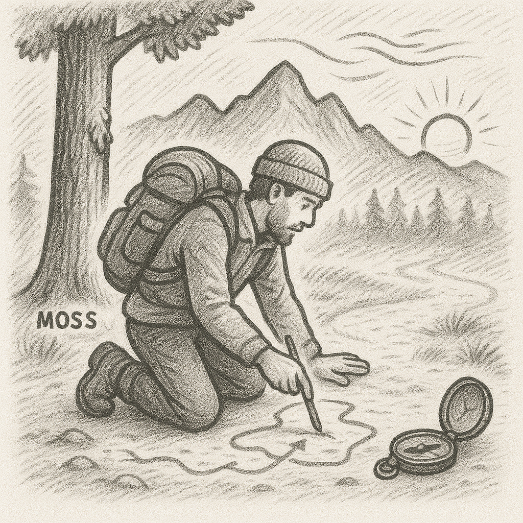
Using Landmarks and Natural Elements to Stay Oriented
By observing peaks, ridges, water features, vegetation patterns and natural light, hikers can maintain orientation even when trails become unclear or visibility decreases.
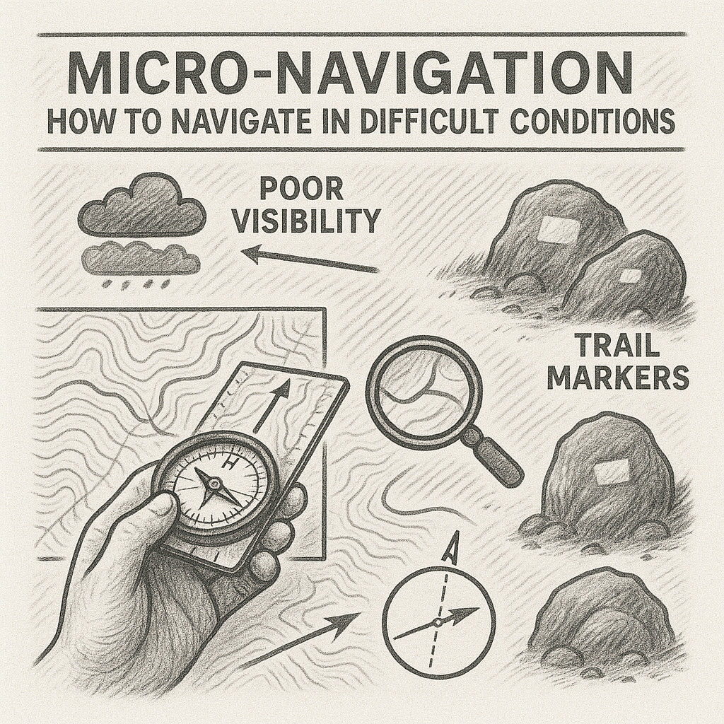
Micro-Navigation: How to Navigate in Difficult Conditions
Micro-navigation is a refined, detail-oriented technique that allows hikers to move safely through terrain where visibility, complexity or weather conditions make conventional navigation unreliable.
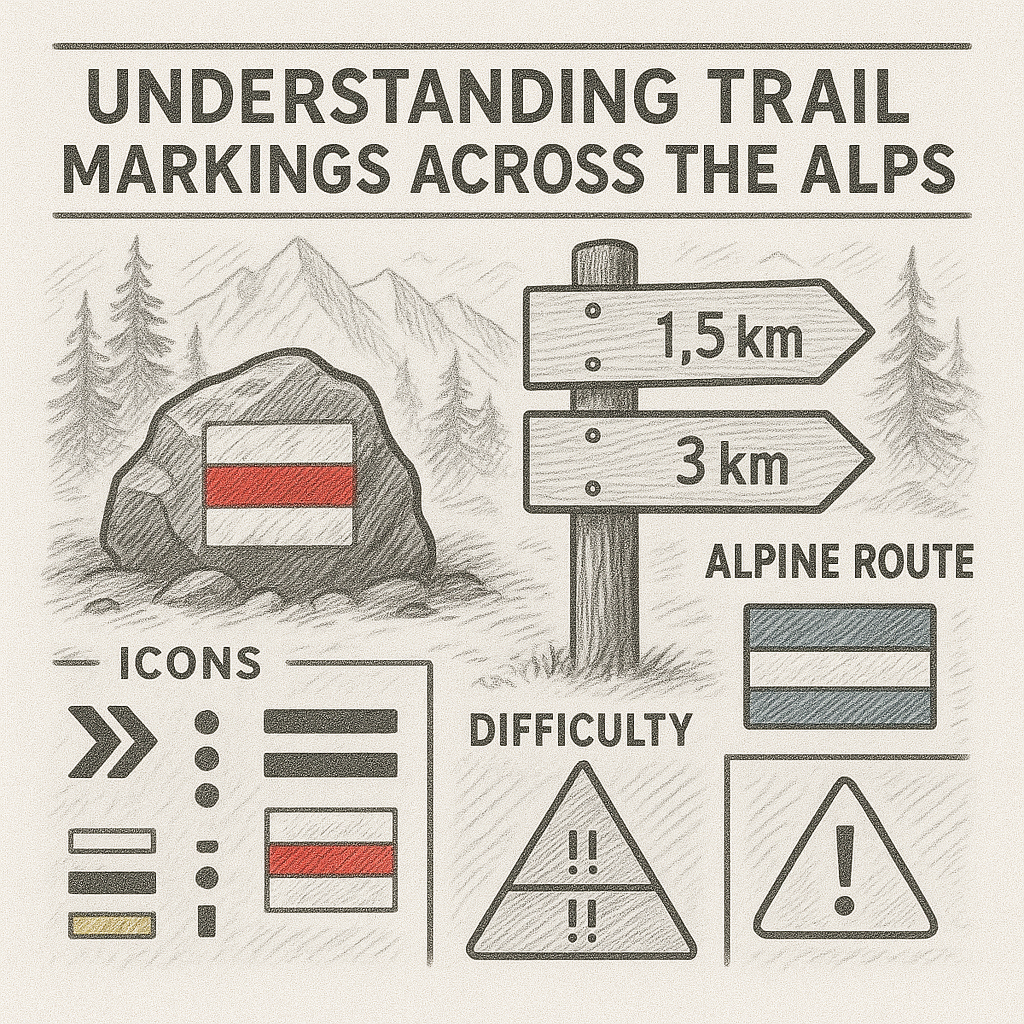
Understanding Trail Markings Across the Alps
Trail markings are a vital element of safe hiking in the Alps, but each country uses its own system of colours, symbols and difficulty levels. Understanding these differences ensures hikers interpret routes correctly and choose paths appropriate to their skill level.
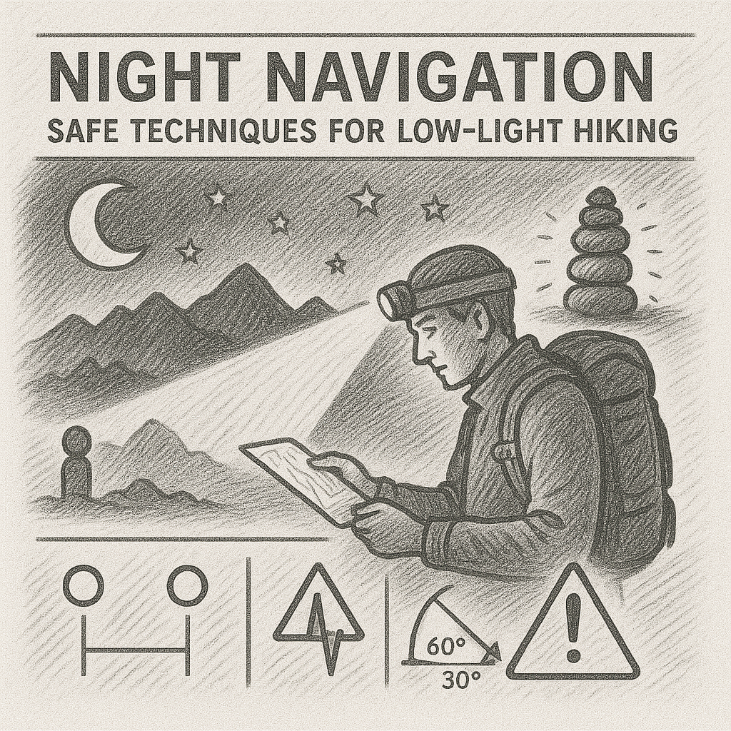
Night Navigation: Safe Techniques for Low-Light Hiking
By using controlled compass bearings, adjusting movements to low-light conditions, reading subtle terrain cues and conducting frequent navigation checks, hikers can travel safely even in darkness.
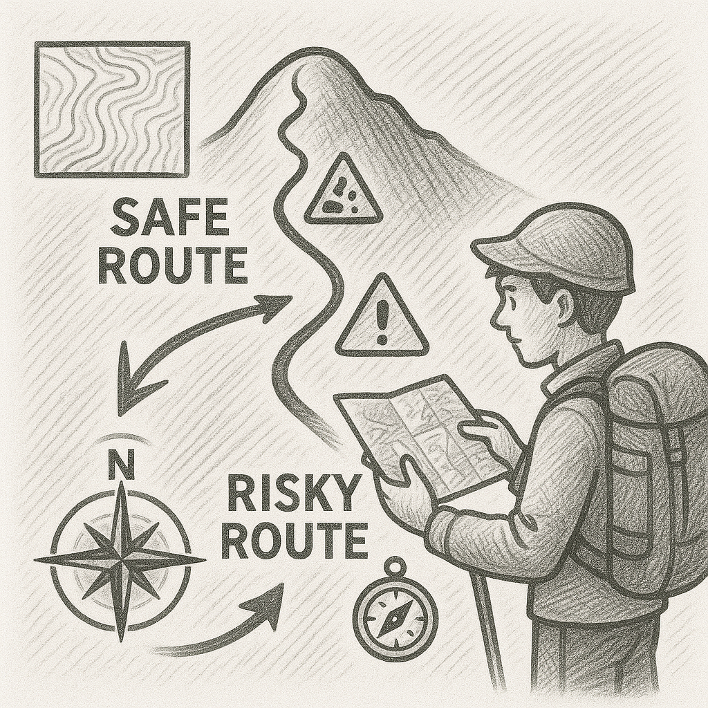
Route-Finding for Beginners: Learning to Choose the Safest Path
Beginners can significantly improve their safety by recognising key landscape features, avoiding hazardous terrain, breaking routes into manageable segments and verifying direction frequently.
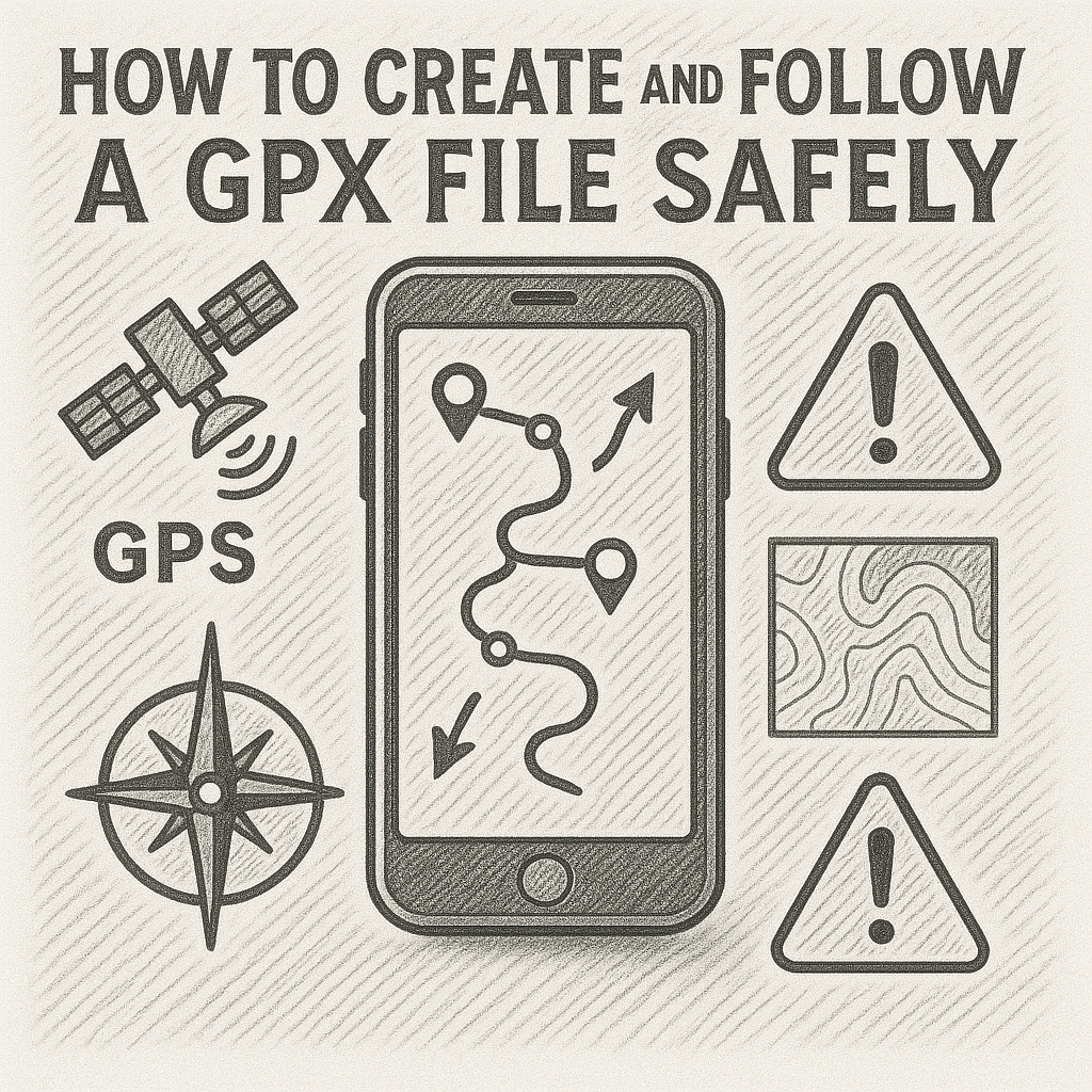
How to Create and Follow a GPX File Safely
When used responsibly, GPX navigation increases confidence and reduces uncertainty on the trail. However, it should never replace fundamental navigation skills or awareness of the environment.
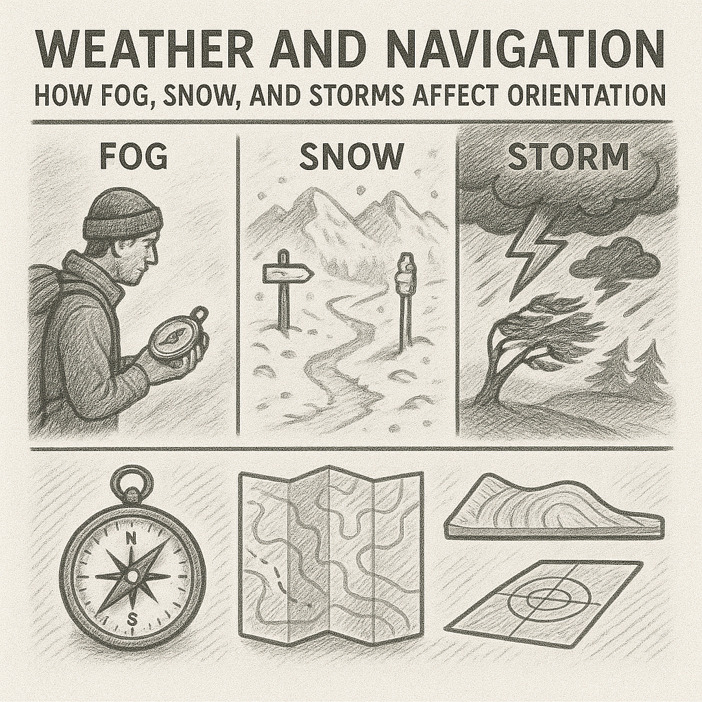
Weather and Navigation: How Fog, Snow, and Storms Affect Orientation
By understanding how weather affects orientation and responding with deliberate strategies, hikers can remain safe and maintain control even in challenging environments. .
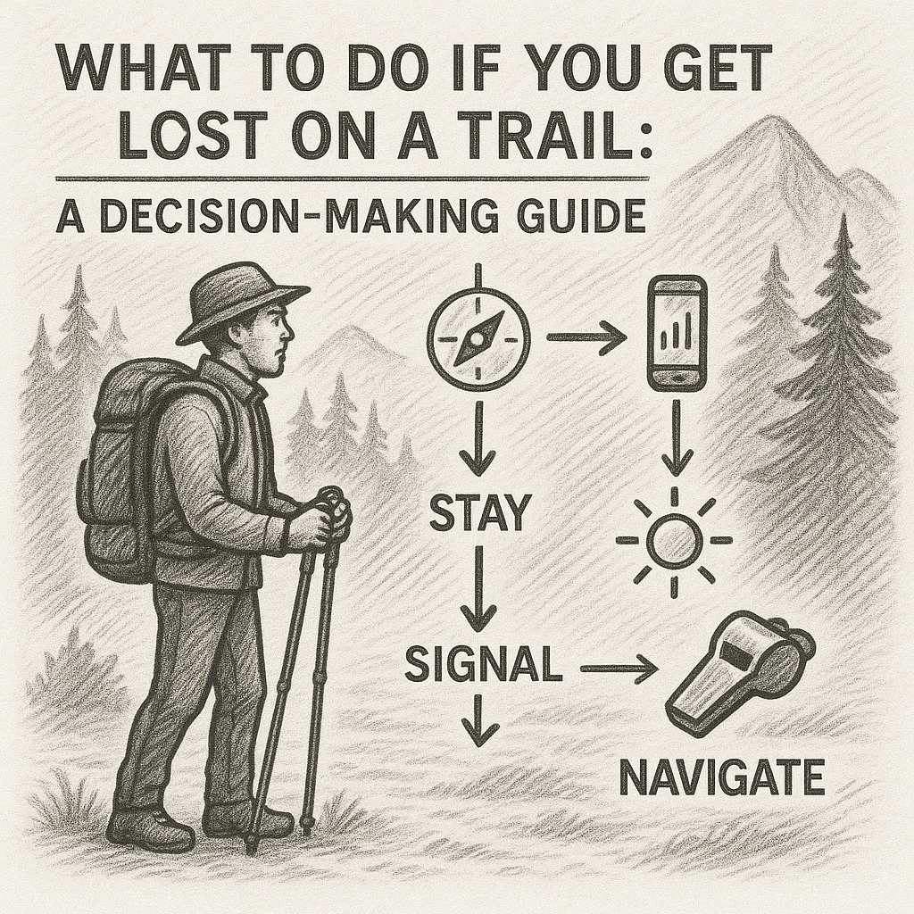
What to Do if You Get Lost on a Trail: A Decision-Making Guide
By recognising early signs of disorientation, applying the STOP method, using landmarks intelligently and avoiding hazardous terrain, most situations can be resolved safely. Knowing when to stay put and when to call for help further protects against escalation.